A Visual Representation of L.A.’s Rail Growth Under Measure M

Los Angeles MetroRail - Comparrison

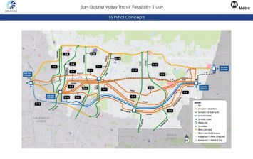
We’re working on a couple of larger stories for later in the week, but in the meantime we thought readers would appreciate this map by Adam Linder.

Linder’s map shows how Metro Rail and Metro Rapid Bus will grow in the coming years from where it is now (including lines under construction) to where it would be, assuming a Measure M build-out.

The Southern California Streets Initiative has not taken a position on Measure M. SCSI publishes not just the three California-based Streetsblogs, but also LongBeachize and Santa Monica Next.

If you like Adam’s map feel free to drop him a line at Infinite3Ent@gmail.com or find him on Instagram at adamglinder.

ALSO ON STREETSBLOG

Today’s Headlines

|
Pasadena Reviewing Fate Of Canceled 710 Freeway Housing (Pasadena Now) South L.A. Community Plan Update Aims To Shift Development To Commercial Corridors (Urbanize) California Ends Parking Mandates At Transit-Rich Locations (LAT) Southeast L.A. Toxic Tours Teach About Pollution And Resistance (LAist) 8 Places To Bike In Southern California (LAT) …9 Groups To Bike So Cal […]

Today’s Headlines

|
More On October 7 K/Crenshaw Line Opening (The Source, LAT, Daily News) United To House L.A. Could Fund Housing Needs (L.A. Taco) County Ends Mask Mandate On Transit (LAT) Metro Approves Motion To Advance Bus/BRT/Rail On Vermont (Daily News) Advisory Commission Approves Pasadena Ped Plan (Pasadena Now) Metrolink Train Stalled Due To Wire Theft (Daily […]